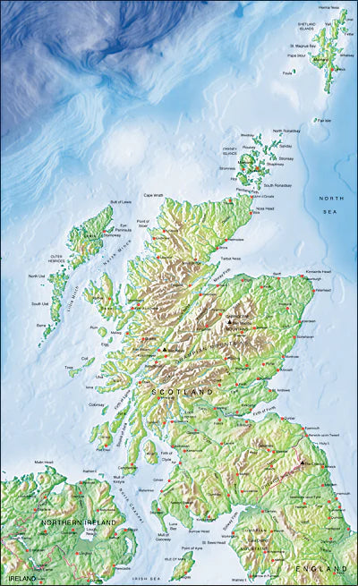
Illustrator EPS map Scotland, Northern Ireland, North England
Mountain High Map Frontiers Illustrator EPS map of Scotland, Northern Ireland, North England is a high quality fully editable geopolitical vector map in Conical projection and is supplied with a comprehensive set of layers of editable features and names. EPS maps can be easily and quickly loaded into desktop design, publishing, presentation for the highest quality geographical representation.
Also check out the relief map of Scotland, Northern Ireland, and North England