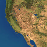
Earth Satellite Images Collection
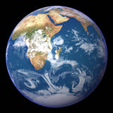
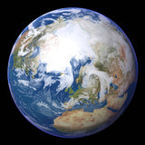
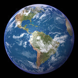
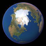
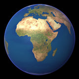
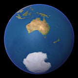
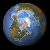
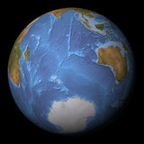
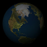
The Earth Images Collection globes and maps represents an accurate and detailed portrait of our world. More than 30 gigabytes of data from three satellite systems were combined with digital map and terrain data to produce the high resolution natural color satellite Images to create this images collection of over 1200 images.
Earth-Images comprises 8 variations of Globe Views - Clouds, Clear sky, Night Sky and Ocean floor texture, all with the optional white background or black background giving 1,179 total images at 5,000 meters per pixel resolution.
Each collection style is based on a perspective of the globe at 22.5 degree intervals - by latitude, 90 North, 67.5 North, 45 North, 22.5 North, Equator, 22.5 South, 45 South, 67.5 South, and 90 South giving 9 parallel viewpoints. By Longitude, starting at the prime meridian Greenwich 0 degree, increment by 22.5 degrees, 22.5 West, 45 West, 67.5 West, 90 West, 112.5 West, 135 West, 167.5 West, International Date Line 180, 167.5 East, 135 East, 112.5 East, 90 East, 67.5 East, 45 East, 22.5 East giving 16 meridional views. Each of the 144 views has four styles with 2 different white or black backgrounds.


