CoolMaps USA 250 Maps JPEG Graphics Collection
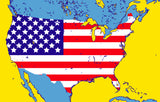
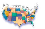
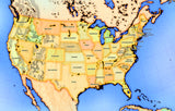
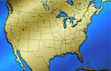
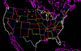
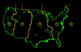
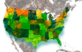
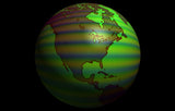
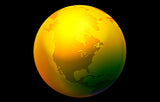
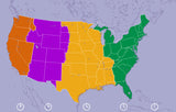
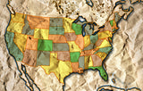
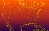
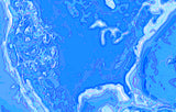
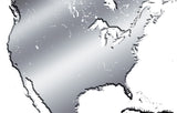
COOLMAPS USA is a unique collection of instant designer USA Views using a wide variety of dramatic and special effects. To emphasize the images, each USA View has been given a different designer theme, texture, perspective or style. The views of the United States are dramatic, artsy maps that can be quickly transferred into desktop design, publishing, presentation, draw, paint, or image editing programs for professional-quality presentations.
The 260-map USA Views collection can be delineated into two groups: 169 maskable USA plan views, and 91 not maskable oblique perspective or curvature views. The linear, maskable variety offers custom editing capabilities using Adobe Photoshop. You can remove or edit land and water areas with land/ocean masks that are provided. Using Photoshop channels, you can choose either the land or ocean portion of an image, and selects one or a combination of the provided masks - countries, states, rivers, latitude & longitude, cities, coastlines, oceans, and more.
CoolMaps USA Bitmap collection of 260 JPEG images are cataloged by design style (note that some images may be cataloged in two styles) as follows:Maskable: Black & White: 12; Blends: 12; Outline 32: Flags 10: Technology 31; Art 15; Fabric 6; Metal 19; Paper 13; Stone 10; Textile 2; Wood 5; Regions 6; Time Zones 5; Water 3; Miscellaneous 13. Not Maskable: States 20; Spheroids 16; Perspective 25; Backgrounds: Stars 9; Clouds 6; Sky 3; Water 3.


