
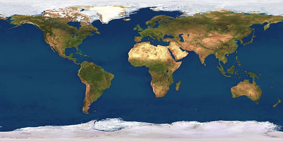
Products World 4 km Photoshop JPEG Satellite map and Illustrator EPS vector map - Cartographic projection
World coverage Satellite image, with a pixel resolution of 4 km for any location in the world, is 10,800 x 5,400 pixels in overall size - 167 megabytes of data in 24 bit RGB colour. Printed as a poster it would measure 72 x 36 inches at 150 dpi, or 36 x 18 at 300 dpi. The underlaying JPEG satellite image map can be used with the included Illustrator EPS vector map to build a customized composite world map with geo-political features. The World image is in Cartographic projection also known as Linear or Plate Carree projection giving 30 pixels per degree of latitude or longitude.